- hot-spots
- forest fire
- Australia
- Bushfires in Australia
Problems
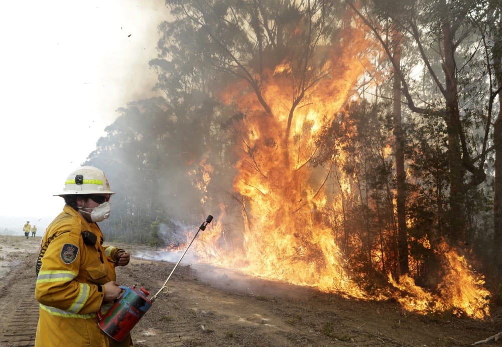
Bushfires are an integral part of the Australian environment and ecology. Fire season starts from late autumn to winter in the north and spreads southwards to affect Queensland in the spring and summer and then the south and west of Australia in the summer and autumn. Many causes have been put forward, the chief one being high temperatures.

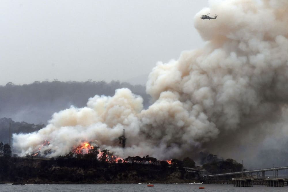
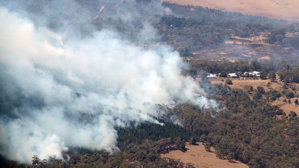
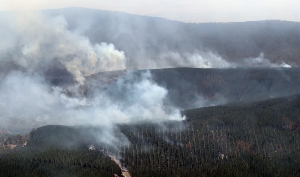
The 2019–2020 Australian bushfire season was one of the most devastating in Australia's history. The fires burned more than 46 million acres (72,000 square miles), roughly the size of Syria. The fires destroyed at least 3,500 homes and thousands of other buildings, and 34 people died. The fires were particularly intense in New South Wales, Victoria, and South Australia.

Experts agree that high temperatures and prolonged dry conditions led to wildfire activity on an unprecedented scale. While Australia's highest temperature recorded in one day was 50.7 degrees Celsius in 1960, 2019 was, on average, the warmest year on record. These environmental conditions exacerbated the spread of bushfires throughout the country.
Consequences of fires in Australia
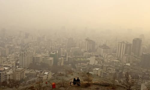
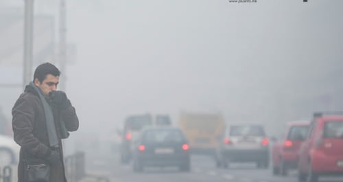
Smoke haze and particulate matter affected the lives of many in the eastern and southern states. Air pollution reached dangerous levels in NSW in particular, with some areas exceeding levels deemed safe by the Australian Government by over 20 times.

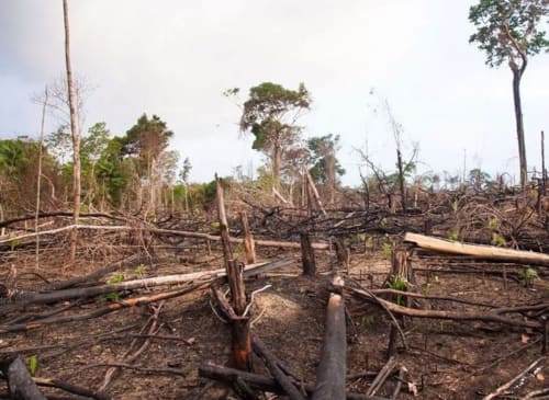
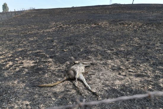
The fires also had significant environmental impacts, such as damaging the ozone layer, threatening endangered species, releasing vast amounts of carbon dioxide and smoke, and altering the ecosystems and habitats of many plants and animals.

The fires were a significant challenge for the Australian authorities and communities, who had to deal with evacuation, firefighting, relief, and recovery efforts. The military, international aid, and volunteers also contributed to the response.
Gallery
9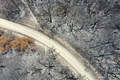


Timelines
2026
September 29
A moderate heat signature is currently being picked up by satellites over an active wildfire burning near Wayillinypa, Australia. Spanning 650 hectares, or 1,606 acres, the fire has been burning since it started on September 29.

This incident unfolds during a broader national fire year that remains significantly below historical baselines. Across the country, 15,998,601 hectares have burned so far in 2026, marking a 54% decrease compared to the two-decade average. This regional fire activity occurs outside of the typical fire season for the area, which spans from December to March.
September 21
Satellites are picking up an intense heat signature from the active Wildfire near Inverell, Australia, as 24 heat detections over the past 48 hours map the spread of the front near the city.
Burning within a region where the typical fire season runs from December to March, the fire started on September 21, 2026, and is managed by the Rural Fire Service.
The blaze has grown to encompass 600 hectares, or 1,483 acres.

Across Australia, roughly 15,389,413 hectares have burned so far in 2026 — 56% below the two-decade average. Data from Copernicus GWIS.
September 17
An active wildfire spanning 830 hectares (2,051 acres) has been burning near Maytown, Australia, since it started on September 17. Satellites are currently picking up an intense heat signature from the front, alongside 34 heat detections in the surrounding area over the past 48 hours, indicating active spread across the landscape.

This incident unfolds during a broader national fire year that typically runs from December to March. Despite current regional activity, Australia's wider fire totals remain below historical baselines, with 14,823,733 hectares burned so far in 2026 - marking a 57 percent decrease compared to the country's two-decade average.
August 01
Australia is using modern technology and Indigenous knowledge to combat bushfires, especially ahead of a challenging fire season driven by a predicted super El Niño. The Bushfire Research Center of Excellence, led by Professor Marta Yebra, integrates satellite imagery and AI with traditional ecological practices from Indigenous communities to improve fire detection and management. This collaboration aims to use Indigenous practices such as cultural burning, used for over 60,000 years, to reduce fuel buildup and prevent large fires.
As the country braces for potentially severe bushfire conditions, the Country Fire Authority in Victoria is preparing for significant challenges, recalling the devastating Black Saturday fires of 2009. Additionally, Australia is responding to international requests for firefighting assistance, including a recent deployment to France, highlighting the growing global interconnectedness in wildfire management.
February 06
The Deep Creek Fire is located in the Fleurieu Peninsula region of South Australia, burning through Deep Creek National Park, Talisker Conservation Park and nearby rugged coastal terrain.

The fire is also positioned near prominent locations such as Silverton, Delamere, Cape Jervis and the surrounding conservation areas.

Crews are still working toward containment, and the Deep Creek Fire is currently considered uncontrolled. The fire has burned more than 3,700 hectares across Deep Creek National Park and surrounding areas.

Firefighters are constructing and strengthening containment lines using backburning operations, heavy machinery and extensive aerial support. Despite these efforts, steep terrain, coastal winds and multiple active fire fronts continue to hinder containment progress

The South Australian Country Fire Service has issued several warnings, including a Prepare to Leave alert for Deep Creek, Silverton, Blowhole Beach Road and Delamere. Residents in these areas are urged to prepare early and leave as soon as it is safe.

Deep Creek National Park and Talisker Conservation Park are fully closed, with restricted access to impacted areas.
January 13
AccuWeather reported that temperatures soared to 111°F (43.9°C) in Melbourne, Victoria, and reached 109°F (42.8°C) in Sydney, New South Wales, over the last few days. The hottest locations in Victoria, according to ABC, included Wudinna, Tarcoola, and Walpeup, which recorded 48.2°C (118.7°F), 48.1°C (118.6°F), and 46.5°C (115.7°F), respectively.

The sizzling summer heat and lack of rain have rendered vegetation tinder-dry and ready to ignite at the slightest spark.
Many dozens of fires were burning across Victoria (south) and New South Wales (east).
Over 400,000 hectares burned across southeastern states, particularly in Victoria. As of January 13, twelve major fires are active, including significant blazes in Longwood (137,000 hectares) and Walwa (102,000 hectares). A State of Disaster has been declared for 18 local government areas due to extreme heat, with temperatures exceeding 40 degrees Celsius and winds reaching 100 kilometers per hour. The fires have already destroyed over 700 structures and killed 20,000 livestock, prompting widespread evacuations and power outages. Fire authorities have mobilized hundreds of firefighters and over 70 aircraft to fight the flames, but ongoing hot, dry conditions threaten to worsen the situation. Comparisons are being drawn to the catastrophic Black Summer bushfires of 2019-20, highlighting the increasing complexity of bushfire risks in Australia.
January 12
A searing heatwave across southeastern Australia in early 2026 set the stage for an outbreak of ferocious bushfires in Victoria and New South Wales. According to the Australian Broadcasting Company (ABC), the early January heatwave “has become one of the most intense on record”.

More than 500 structures, including 180 homes, have been damaged or destroyed by the raging fires in Victoria alone as of January 12, reports ABC. One farmer has been confirmed to have died in the bushfires, with up to four more reported by various sources. Thousands of people have lost power, several schools have been closed, and widespread smoke has created hazardous air quality in numerous areas across both Victoria and New South Wales.

Australia has declared a State of Disaster as severe bushfires rage across Victoria and New South Wales, fueled by record temperatures exceeding 46°C. The crisis, which began in early January 2026, has already destroyed over 130 structures and burned more than 740,000 acres. At least five fatalities have been reported, with the first confirmed death occurring near Longwood, Victoria, where human remains were found near a burned vehicle. Emergency officials have warned residents of "catastrophic" fire dangers, urging immediate evacuations as conditions are described as "undefendable." The situation is further complicated by the approach of Tropical Cyclone Koji, which could hinder emergency response efforts
2024
February 22
Firefighters in Australia are battling a huge blaze that has forced the evacuation of tens of thousands of people amid some of the worst fire conditions the country has seen in recent years.

Hot, dry and windy conditions have created “extreme to catastrophic fire dangers” in parts of Victoria and South Australia, according to Australia’s Bureau of Meteorology.

Around 30,000 people had been ordered to evacuate parts of Victoria when authorities warned it would be too late to leave.

Temperatures are rapidly rising to the 40°C range (104°F), with wind gusts reaching 60 to 70 kilometers per hour (37 to 43 mph), according to an update from Jason Heffernan, chief officer at Victoria’s Country Fire Authority (CFA), the state’s volunteer fire service.

“Extreme fire dangers are coming to fruition, and in fact, we’re currently seeing catastrophic conditions in Casterdon, Hamilton and Kanagulk in the Wimmera weather district,” he said.

Firefighters have been battling a bushfire that started February 22, in the rural town of Bayindeen, about 190 kilometers (118 miles) west of Melbourne, and is not yet under control, according to the state’s emergency department.

Six homes have already been destroyed and authorities fear windy and dry conditions may fan the flames close to high-density residential areas.

An “extreme” fire rating has been issued for large parts of Victoria, while the state’s western Wimmera region was given a “catastrophic” risk, meaning that if fires start, they will be “uncontrollable and uncontainable,” according to the Bureau of Meteorology.

More than 100 state forests have been closed, the Forest Fire Management of Victoria said on social platform X. Dozens of schools and child care centers have also been shut.

As the world continues to heat up, increasing the likelihood of the “fire weather” that fuels faster and more intense blazes, scientists say the risk of extreme bushfire seasons will increase.
February 13
13 February was a day of dangerous bushfire conditions, and a 'Catastrophic' fire danger rating was issued for the Wimmera district for the first time since the 2019–20 Australian bushfire season. 3 fires broke out across the Grampians which impacted the towns of Dadswells Bridge, Bellfield, and Pomonal. 44 Homes were lost and 5 firefighters were injured in a burnover. These fires burnt over 6,600 ha (16,308 acres).
2023
October
Fires of significance have occurred in the Bega Valley, Ingleburn, Mudgee and the Hunter Valley. Combined these fires brunt over 98,233 ha (242,739 acres), destroying 27 homes and claiming the lives of 2.

Four major bushfires began burning in the eastern Victorian region of Gippsland. A large blaze near Briagolong resulted in the town and its surrounds being evacuated, while emergency warnings were issued for residents in proximity of other fires in Loch Sport and Rawson. Strong winds in the region resulted in the fires spreading rapidly and burning out of control.
2022
November 29
Above-average fire potential was expected in parts of central western and southern WA, central Australia, southern Queensland, and inland NSW due to increased fuel loads due to significant rainfall. Western Tasmania also shows above-normal fire potential following a dry spring period.
2020
January 23
Three American firefighters die after their Lockheed C-130 Hercules plane crashed while battling bushfires in southern NSW. This brings the total number of firefighter deaths this bushfire season to eight.
January 06
The Federal Government commits $2 billion to a national bushfire recovery fund. Victoria's Premier announces that bushfires had burnt through 1.2 million ha and 200 homes have been lost.
January 03
A devastating fire on Kangaroo Island, SA, burned 170,000 ha. This represents a third of the island. Australian Navy evacuates Mallacoota, VIC, as bushfires hit the town.
2019
December 26
Lightning sparks fire in the Sterling Ranges, WA, tearing through more than 40,000 of parkland.
October 26
Lightning Bolt starts a mega-fire in Gospers Mountain, NSW. It became the epicenter of the biggest forest fire that started from a single ignition point Australia has ever known, with 444,000 ha destroyed. A bushfire in Port Macquarie, NSW, begins due to a dry electrical storm.
2017
A study of 67 years of FFDI data found a “clear trend toward more dangerous conditions during spring and summer in southern Australia, including increased frequency and magnitude of extremes, as well as indicating an earlier start to the fire season.'”
2015
September 30
Pinery fire in South Australia, killing two people and destroying over 90 homes.
2009
February 07
Black Saturday bushfires in Victoria, killing 173 people and destroying over 2,000 homes.
2002
December 17
Eastern Alpine fires. Affected Big Desert Wilderness Park and Wyperfield National Park
181,400 hectares burned.
1998
January 01
22,000 hectares of Alpine National Park were burned.
1985
January 14
Bushfires burned 50,800 hectares. One hundred eighty houses, 500 farms, and 46,000 stock were destroyed, and three people died. Areas affected included Avoca, Maryborough, and Little River. Fires also affected the alpine region, with the largest at Mt Buffalo.