- hot-spots
- forest fire
- USA
- Forest fires in Alaska, USA
Problems
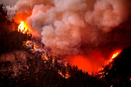
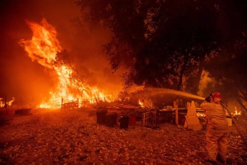
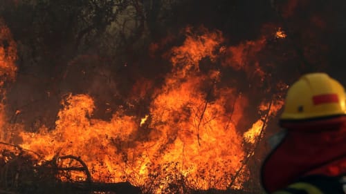
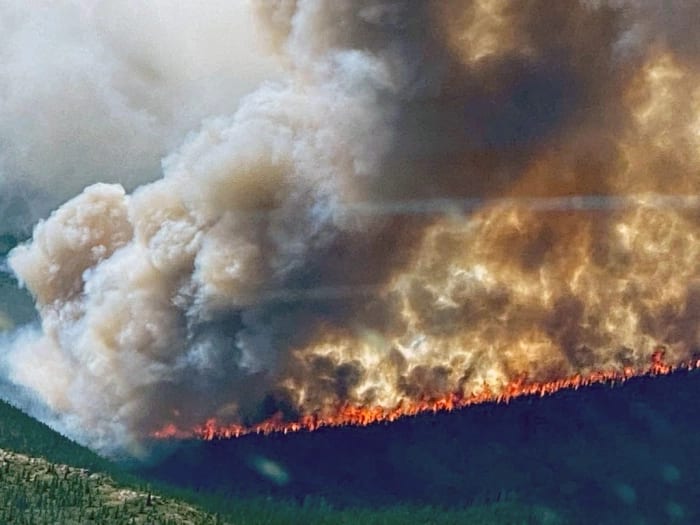
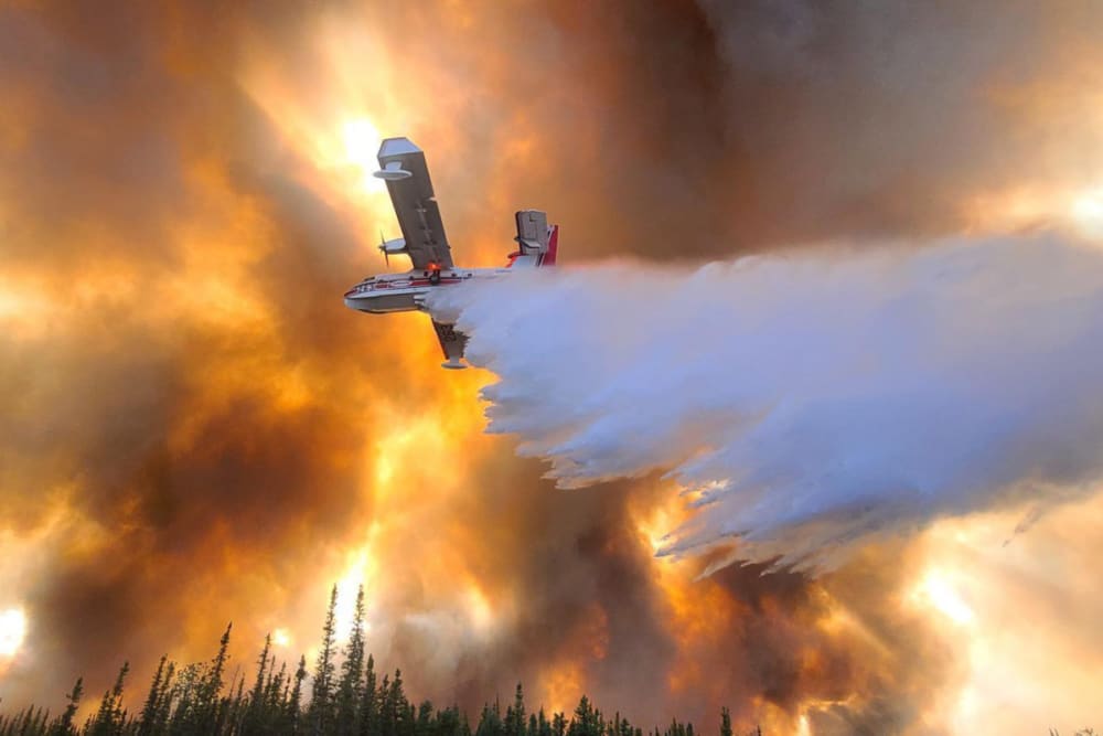
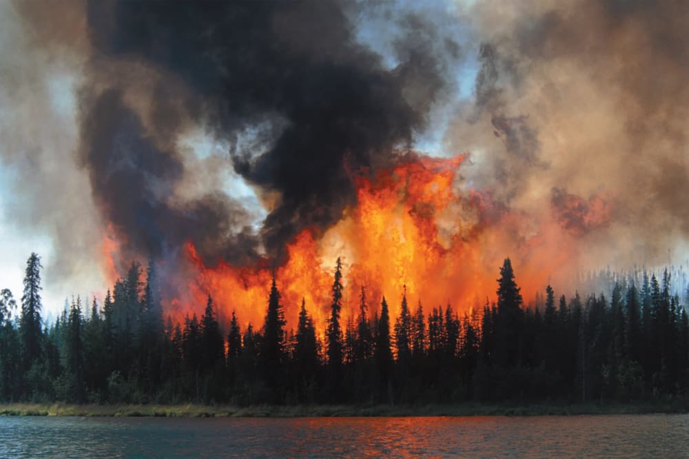
Forest fires are common in Alaska between May and August, mainly caused by lightning and sometimes by human activity. They burn through black spruce forests covering the permafrost and frozen soil. Alaska does not fight all fires because it can help the environment by clearing debris, thinning trees, and creating new habitats. However, fires can also produce smoke that harms health and travel far distances.
Causes of forest fires in Alaska
Record-breaking temperatures and dried-out vegetation set the stage for significant fires in central and southern Alaska.

In 2022, Alaska experienced record-breaking wildfires that burned more than 1.7 million acres of land, 50% higher than the average for the entire season. The fires were fueled by a hot and dry start to summer, with Anchorage having its second-warmest June ever. The region also had less snow over the winter, which made the vegetation drier and more flammable.

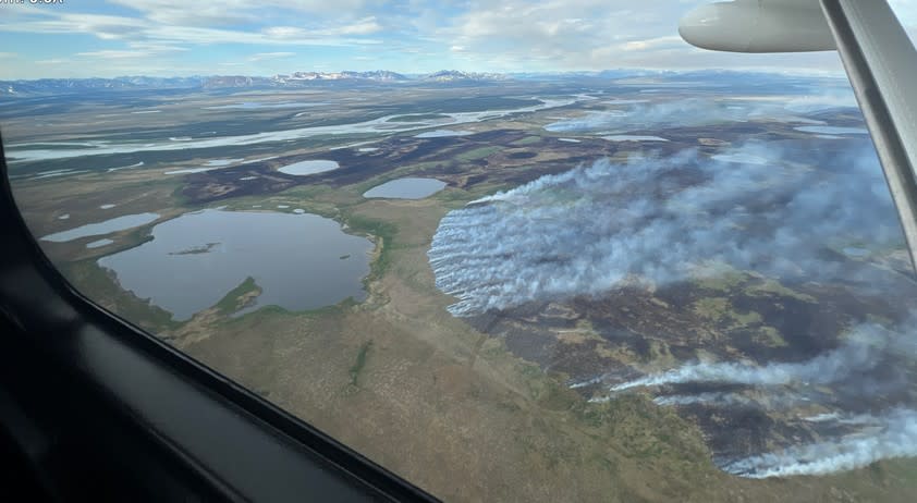
One of the largest fires was the Lime Complex, which consumed more than 600,000 acres in the tundra. This fire was started by lightning, which increased in frequency and intensity in interior Alaska due to climate change. The fire forced the evacuation of some villages and cabins.
Gallery
5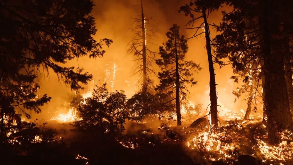
Timelines
2026
August 20
Wildfire personnel made progress on Muklak Fire burning in and around Tok overnight, according to the Alaska Division of Forestry and Fire Protection.
The fast-moving wildfire was 16% contained in the community of Tok.

According to updated mapping estimates, the area was estimated to be 5,077 acres. However, heavy smoke and clouds obscured the north and northeast edges of the fire, and the size could change once improved mapping data becomes available.

The evacuation area was reduced to the area on the north side of the Alaska Highway from Sun Dog Trail on the west to Fifth Street East on the east, north of Red Fox Drive. Several areas were reduced to either Level 2 “SET” or Level 1 “READY” notices.

DOFF estimates at least 20 structures damaged or destroyed.
DOFF noted the fire crossed Red Fox Drive and continues moving northeast toward the Tanana River, but hasn’t crossed the river yet.
August 17
The Muklak Fire was reported on August 20 in a backyard in Tok from a suspected downed power line knocked over by high winds. The fire rapidly spread through the Interior Alaska community, growing to over 3,000 acres.
The state issued a Level 3 “GO” evacuation notice.
July 12
Alaska is experiencing an active mid-summer wildland fire season driven by warm temperatures, receptive fuels, and frequent lightning strikes, particularly across Western and Interior Alaska. The combination of hot, dry weather and gusty winds has led to potentially risky situations for wildfires across the state.

The AICC is currently tracking over 400 active, smoldering, or demobilizing fires statewide.

Several new wildfires ignited in Western Alaska due to recent lightning systems. Firefighters have successfully checked fire activity on numerous incidents, allowing them to contain many fires within a few days and demobilize to prepare for new starts.
June 25
Federal firefighters are responding to multiple lightning-caused wildfires in Alaska's northern Interior, following over 20,000 lightning strikes detected in the past week. The U.S. Wildland Fire Service is managing several fires, including the Jade Fire near Ambler, which has burned approximately 65 acres, and the Canyon Fire near Rampart, which has reached about 880 acres. The Polly Fire, located near Taylor Highway, has burned around 120 acres and is currently 0% contained. Firefighting efforts include water-scooping aircraft and smokejumpers, with a Type 2 crew deployed to protect nearby Native allotments and cabins. The Betula Fire near Central has burned about 35 acres and is also 0% contained, while six additional fires are part of the Elliott Complex near Minto, with only three receiving firefighting resources due to their proximity to developed areas.
June 19
The US Wildland Fire Service is currently managing five active fires in Alaska, including four in the Tanana Zone and one in the Upper Yukon Zone. An estimated 13,737 lightning strikes have occurred since June 19, 2026, resulting in 40 new fires. The Canyon Fire has reached approximately 462 acres, with smoke visible to nearby communities, while the Applegate Fire is about 80 acres and is being actively contained by ground crews and air support. Heavy rain has moderated the Hutlitakwa Fire, and the Chotzatdhah Fire is currently 30 acres, with firefighters making progress securing its edges. Red Flag Warnings remain in effect due to dry conditions and thunderstorms, indicating a heightened risk for further fire activity.
June 17
Firefighters are actively managing the Canyon Fire, which has grown to 340 acres since it ignited from lightning on June 11, located 20 miles west of Rampart, Alaska. The U.S. Wildland Fire Service is focused on protecting nearby Native allotments without directly engaging the main fire, as it burns in black and white spruce. Meanwhile, the Stampede Fire near Healy, which started on June 16, is under control at about 1.3 acres, with firefighting efforts supported by a water-dropping helicopter. Both the Kopshesut Fire and Kugachevk Fire near Ambler are now fully contained, with the Kopshesut Fire having reached about 1,440 acres after escaping the Ambler landfill on June 4. There are currently no evacuations or structures threatened in the affected areas
2024
May 29
BLM Alaska Fire Service officials are keeping an eye on a large tundra fire burning in a remote part of Western Alaska.

The Atchuelinguk Fire (#090) is burning in the Yukon Delta National Wildlife Refuge approximately 33 miles north of Marshall. Surrounded by bodies of water, it is located east of the confluence of the Nageethin and Atchuelinguk rivers. A BLM AFS firefighter who conducted an aerial survey of the area estimated the fire had burned about 1,000 acres of dead grass and brush.

The  cause of the fire has yet to be determined. It was discovered on 26 May.
89 fires have burned just more than 6,000 acres across Alaska.
2022
According to a University of Alaska Fairbanks scientist, a wildfire scorched 153,505 acres near the Bering Sea mouth of the Yukon River is now Alaska’s largest tundra fire in 15 years and one of the largest in decades.
2019
The Swan Lake Fire was ignited by a lightning strike to a dead white spruce on the edge of the Moose River flats within the Dave Spencer Wilderness Unit of the Kenai National Wildlife Refuge.
2018
June 09
Multiple wildfires are affecting air quality in Interior Alaska, with smoke predicted to drift east through central regions on June 9, 2018. Significant fires include the 2,400-acre Little Melozitna River Fire, the 7,000-acre Dulby Hot Springs Fire, and the merged Deniktaw Ridge Fire, which has burned 7,000 acres and is currently staffed.
Other notable fires include the 3,200-acre Kololitna River Fire, the 2,500-acre Mooseheart Fire, and the 1,000-acre Zitziana River Fire, all being monitored in limited protection areas. Additional smaller fires, such as the 650-acre Bismark Fire and the 700-acre Rabbit River Fire, are also contributing to the smoke. Residents are advised to stay indoors and limit physical activities to mitigate smoke exposure
2015
The Sockeye Fire was a wildfire near Willow, Alaska, in 2015. The fire was active from June 14 to July 22. By the time it was contained, it had burned 7,220 acres. The fire primarily affected the community of Willow.
2009
The Alaska Fire Science Consortium (AFSC) was formed to facilitate the delivery and application of fire science research in Alaska. AFSC connects scientists, managers, practitioners, and communities to share knowledge and best practices on fire ecology, behavior, and management.
2004
Alaska experienced its most severe wildfire season, with 6.5 million acres burned by 701 fires. The Boundary Fire was the largest single fire, consuming 1.3 million acres. The fire season prompted reviews and revisions of fire management plans and policies.
1984
The State of Alaska adopted the National Interagency Incident Management System Incident Command System concept for managing its fire suppression program.
1982
The Alaska Interagency Coordination Center (AICC) was established to provide logistical and operational support for wildland fire management in Alaska. AICC coordinates fire detection, intelligence, mobilization, aviation, weather, and communications